-40%
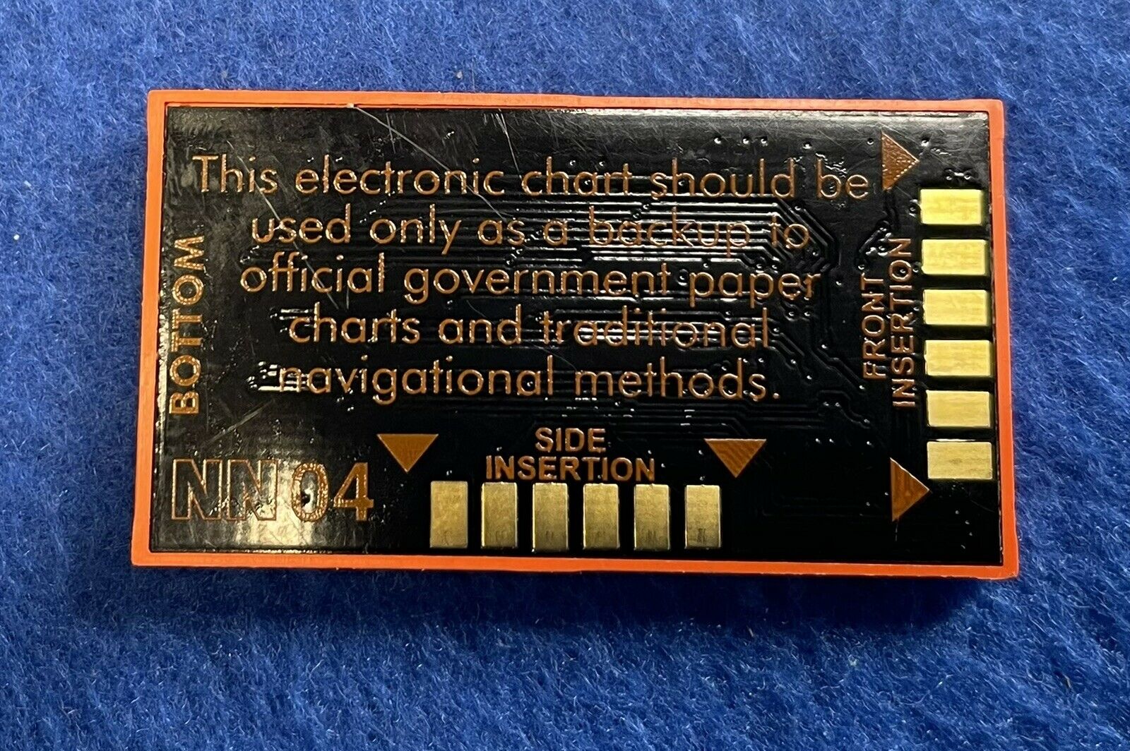
C-Map NT MAX C-Card NA-M022 USA EAST COAST & BAHAMAS Map Chart Card
$ 47.49
- Description
- Size Guide
Description
C-MAP NT Max chart on C-card format,NOT SD or MicroSD. This card does NOT work with any Raymarine or Furuno devices!
This card does work with many of the old Standard Horizon, Si-Tex, Navman, Northstar, and Simrad Shipmate displays. Please ask if unsure about compatibility or reference the chart below to ensure your display uses
C-Map MAX
on
C-Card
.
https://ww1.jeppesen.com/documents/marine/light-marine/C-MAP-Chart-Compatibility.pdf
2007 charts. Guaranteed authentic and ready to use.
Description from C-Map:
“NA-M022 USA East Coast and Bahamas:
Coverage of the United States Atlantic coast from Passamaquoddy Bay, ME down to Key West, FL, with extended coverage into the Gulf of Mexico over to Perdido Bay, FL. Includes coverage of Bermuda and all of the Bahamas. Also includes coverage of the Hudson River, Lake Champlain, Erie Barge Canal, Savannah River, St John's River and Okeechobee Waterway. Caribbean coverage includes charts from Explorer Chartbooks and Wavey Line Publishing”
Fast free USA shipping!

